| Area |
Upper Trinity |
| Topic |
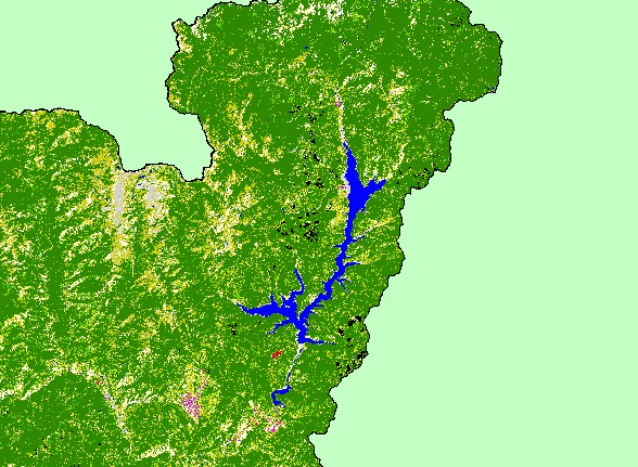
Map: 1C. EPA Landcover/Landuse, Upper Trinity Sub-Basin |
|
This is a map of the EPA Landcover/Landuse in the Upper Trinity sub-basin, based on a 1992 Landsat TM satellite image. The
majority of the sub-basin is conifers (dark green) and mixed conifer-hardwood (medium green), but there are also significant
patches of shrubs and grasslands. Trinity Lake is the largest waterbody in the sub-basin, followed by Lewiston Lake at the
southern tip of the sub-basin.
|
|
|
 |
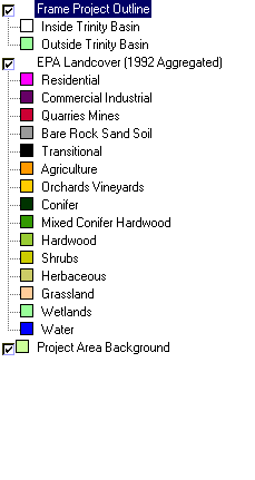 |
To view metadata about a map layer, click on a link in the table below.