| Area |
North Fork Battle |
| Topic |
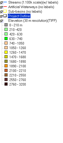
Map: 1B Hydrography and Elevation, North Fork Battle Sub-basin |
To view a more detailed version of this map click
here
|
This is a map of the 1:100,000 scale USGS hydrography (including canals) in the North Fork Battle sub-basin overlaid on top of an elevation hillshade and sub-basins.
The highest elevations in the project area are located in the headwaters of Battle Creek at Mount Lassen. Data were contributed by the California Department of
Forestry.
|
|
|
 |
 |
To view metadata about a map layer, click on a link in the table below.