| Area |
Mainstem Battle |
| Topic |
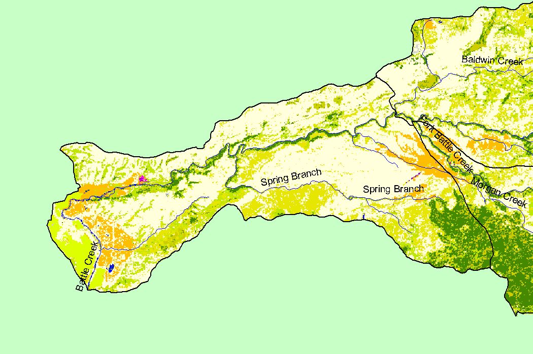
Map: 1D EPA Landcover/Landuse, Mainstem Battle Sub-basin |
To view a more detailed version of this map click
here
|
This is a map of the 1992 Environmental Protection Agency Landcover/Landuse in the Mainstem Battle sub-basin, displayed along with 1:100,000 scale streams and
KRIS sub-basins. These data are derived from a 1992 Landsat image. The sub-basin is dominated by grasslands, shrubs, and agriculture. Scale = 1:108,043 .
|
|
|
 |
 |
To view metadata about a map layer, click on a link in the table below.