| Area |
Mainstem Battle |
| Topic |
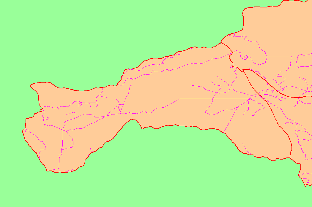
Map: 1C Roads, Mainstem Battle Sub-basin |
To view a more detailed version of this map click
here
|
This is a map of the roads in the Mainstem Battle sub-basin, displayed with KRIS sub-basins. In some areas, the GIS roads layer under-represents the network of
existing roads. High road densities can increased fine sediment yield to streams. Data were contributed by Sierra Pacific Industries and Lassen National Forest. Scale = 1:104,731 .
|
|
|
 |
 |
To view metadata about a map layer, click on a link in the table below.