
| Area | Basin-wide |
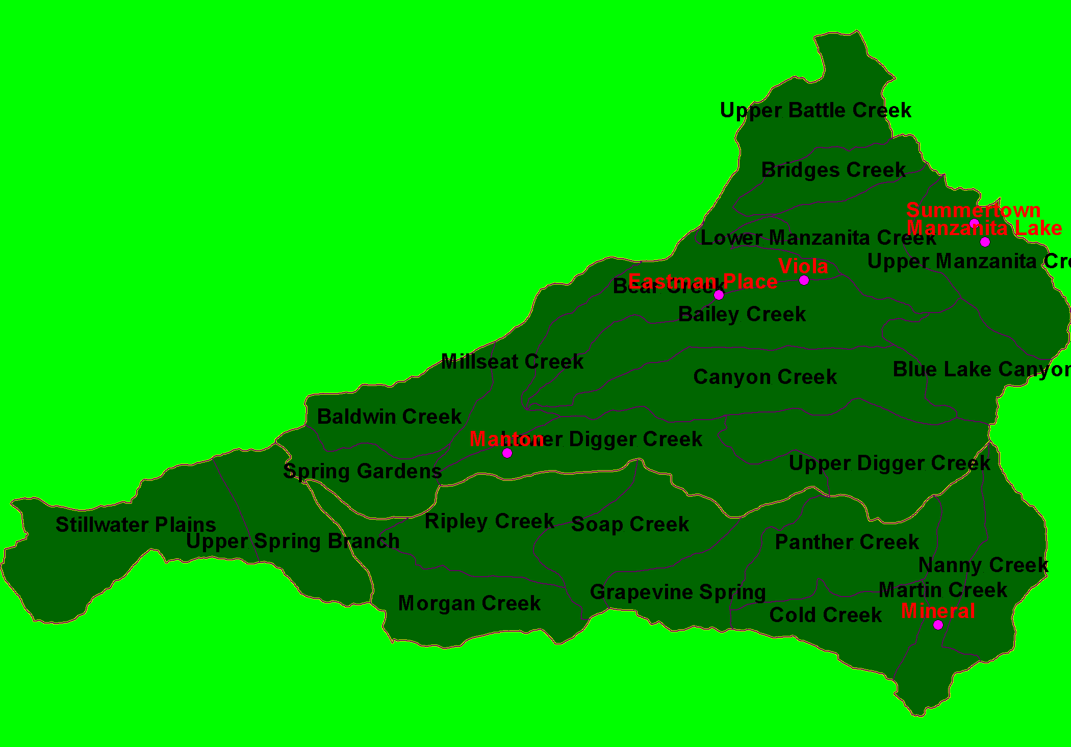
| Topic | Map: 1C Calwater Planning Watersheds, Battle Creek Basin |
| This is a map of the Calwater Planning Watersheds (purple outlines with black labels) and Populated Places (red labels) in the Battle Creek basin, overlaid on top of KRIS sub-basins (yellow outlines). Data from the California Department of Forestry. Scale = 1:133,563 . | |||
 |
 |
||
To view metadata about a map layer, click on a link in the table below.
| Name of Layer in Map Legend | Metadata File Name |
|---|---|
| Populated Places (1:24k) | pop_places24.shp.txt |
| Calwater PWS (small labels) | calw22.shp.txt |
| Sub-basins (no labels) | subbasins.shp.txt |
| Project Frame | mask1.shp.txt |
| www.krisweb.com |