| Area |
Americano Creek |
| Topic |
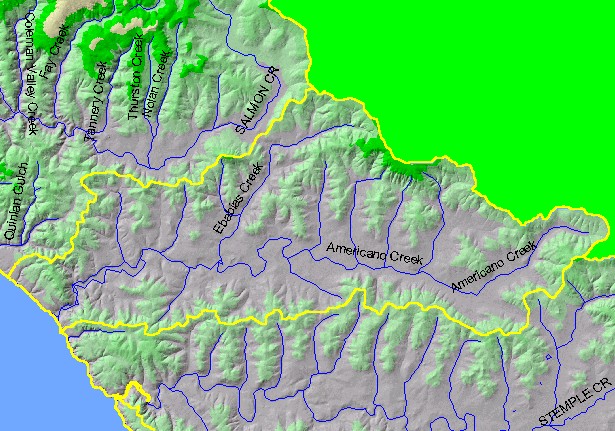
Map: 1B. Hydrography with DEM, Americano Creek Sub-basin |
|
This is a map of the 1:100,000 scale U.S. Geologic Survey hydrography in the Americano Creek sub-basin overlaid on top of a
Digital Elevation Model (DEM) and with a theme of Populated Places.
|
|
|
 |
 |
To view metadata about a map layer, click on a link in the table below.
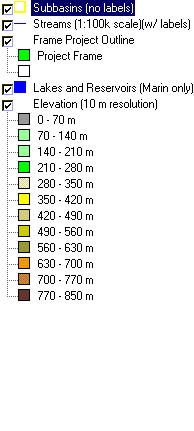
| Name of Layer in Map Legend | Metadata File Name |
|---|
| Subbasins (no labels) | subbasins.shp.txt |
| Streams (1:100k scale)(w/ labels) | streams100.shp.txt |
| Frame Project Outline | Unavailable |
| Lakes and Reservoirs (Marin only) | Unavailable |
| Elevation (10 m resolution) | elev10.tif.txt |
| Topo Map, North (1:24k scale) | Unavailable |
| Topo Map, South (1:24k scale) | Unavailable |